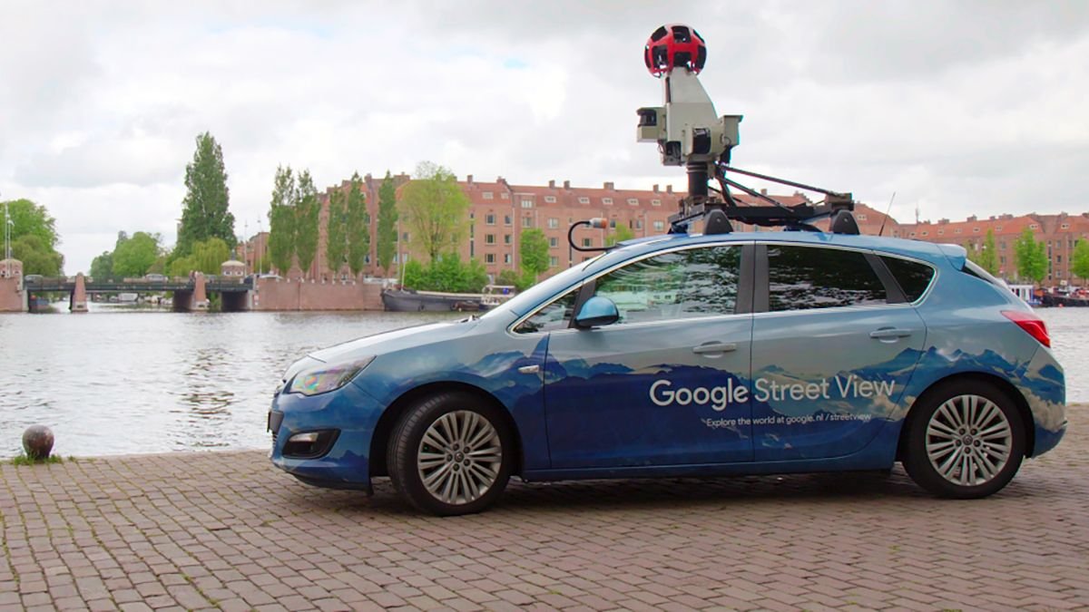

Launched in the United States in 2007, Google's Street View project has mapped everything from roads to ski slopes in recent years, and it just took a major step: 10 million kilometers of captured imagery. That's enough to stretch around Earth more than 400 times in a distinctive Street View car, Google told CNET. It's the first time the tech giant has released reliable data on the scale of Street View. In addition to photographing roads, Street View has zoomed in on walking trails, interior buildings, mountains, and even the International Space Station. All of these images are also updated every few years. "Imagery is at the heart of everything we do," Ethan Russell, a product manager for Google Maps, told CNET. "We believe this is the foundation of the entire mapping process."